I still say they need more details/symbols/features. Theyre VERY VERY VERY close but they dont have that real map feel yet.
https://www.realitymod.com/forum/showpo ... stcount=59
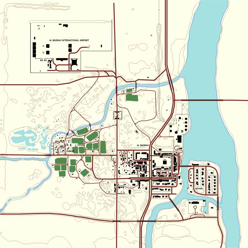
See what I mean? place names etc with cluttering the map, if symbols are copied from genuine maps then you'll find they just blend into the map.
Contours are useful to track around hills but a map isnt any good if you cant say that your "50m east of the well at a hieght of 75m" or that "theres a large gathering of insurgents in the Al-Zubair District" things like that. otherwise the map is pretty much the same as it is, everything just becomes "errrrm Im next to the yellow squiddly bit opposite the oblong black thing..."
School buildings, Hotels, Bus stops, Phone Boxes, post offices, rivers, fjords, streams, springs, reeds, bogs, marshs, wells, statues, monuments, factories...
Do I need to go on?
ALL of the above can be found symbolized on real maps, we know they probably didnt model an exact school building in basrah, Have a look around and choose one

things like the several construction sites wouldnt be mapped yet
Edit: just looked and seen there are district names

maybe a lil bigger with double spacings between the letters?
I know I'm nitpicking but I can't use the tools myself
Have been trying for ages