Re: [Map] Feyzabad, Afghanistan [WIP]
Posted: 2009-01-14 14:09
Alright, CodeRed, I've got some more suggestions for you. No doubt you will have made some of these already, apologies in advance 
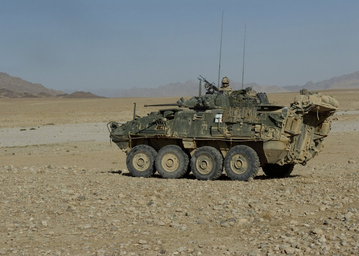
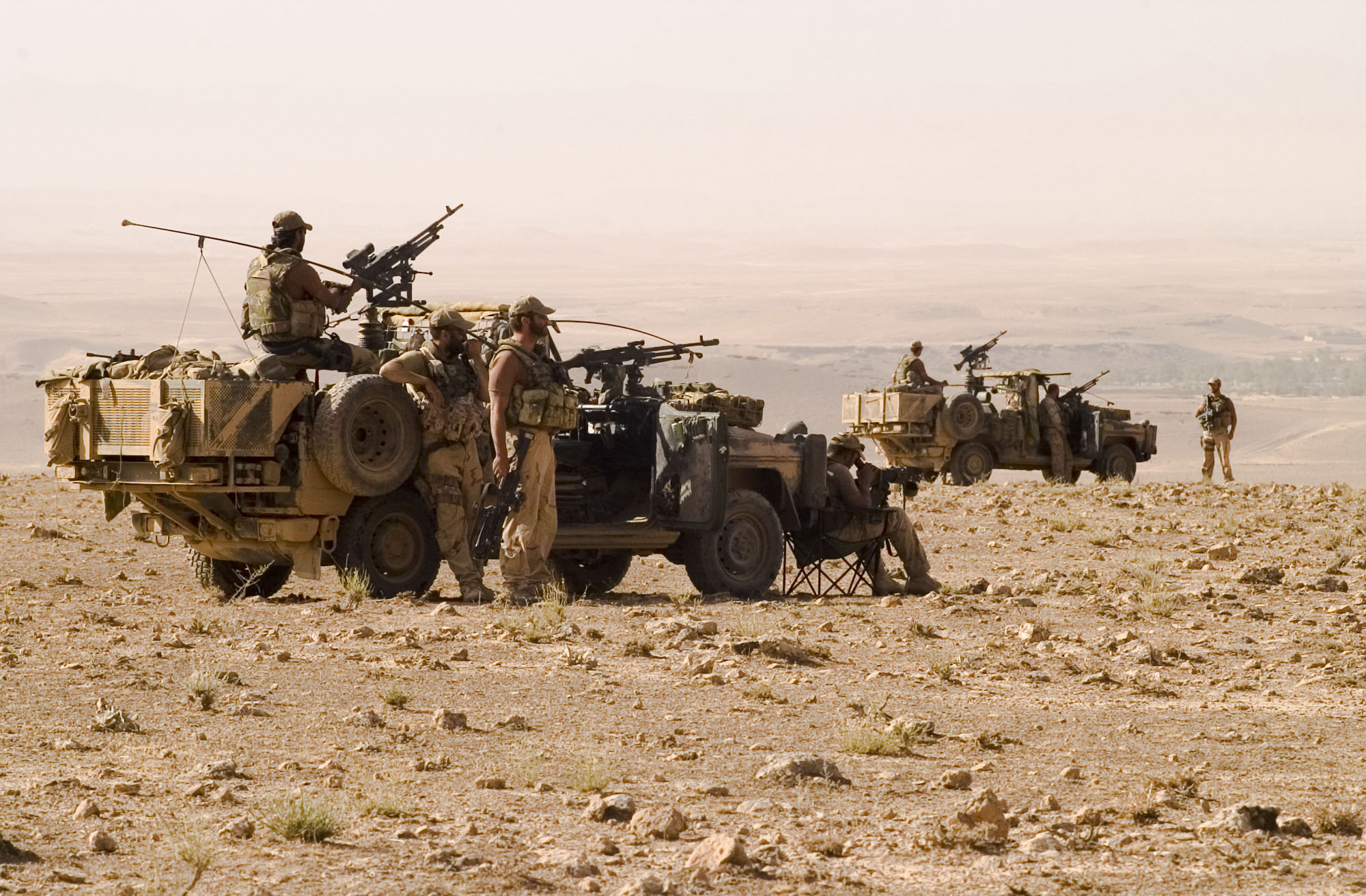
A lot of ops in Afghanistan appear to have the allies use the dry open plains up in the mountains to move about in, then coming down closer to the villages to find the enemy. They seem to be relatively safe out in the desert, but coming closer to the town often is dangerous. The exception to this seems to be where the mountains get big and vehicles have to negotiate narrow passes to get to the next section of open desert. This is the kind of terrain i mean:
Korengal had mountainsides, but is not a map for vehicles. I see lots of steep mountains in your WIP shots, but not much as described earlier. I hope Feyzabad has some open high desert for the allies to manoeveur in, with a pass or two for ambushes. This will also help keep the Taliban ingame within the greenzone and around the caches, as with long vis, no scopes and no cover they will have no chance in the open country.
I dont think the essence of the fighting in Afganistan has been captured yet. Korengal looks awesome and is a great map to play, but you get the feeling the enemy are EVERYWHERE. Korengal for me doesent create that dynamic of manoevering from relative safety closer and closer to a suspect village, all peaceful, then suddenly the whole village starts shooting, and a 4km map has the opportunity to create that.
Cheers....


