[HUD] Topographical minimaps
Posted: 2007-11-23 04:01
All maps to be considered WIP. Specific criticism may be accepted and result in changes on any map
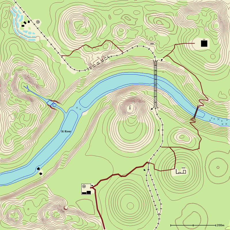
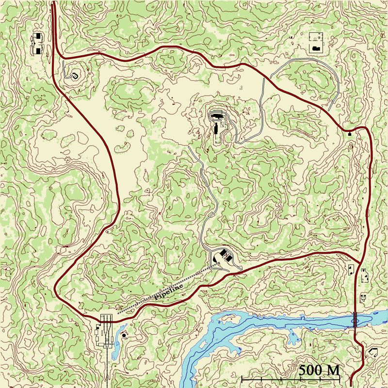
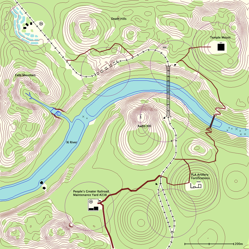
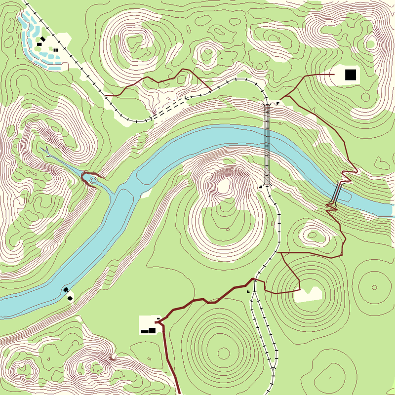
Operation Ghost Train
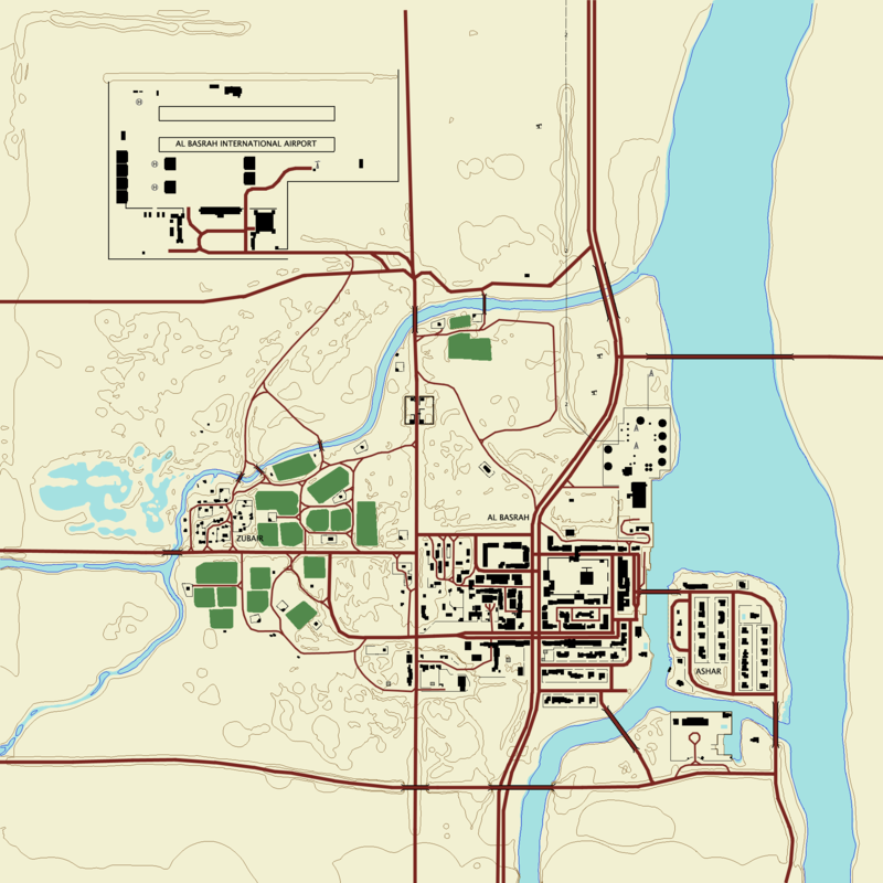
Al Basrah
To do: Add depression markings
Mestia (by BloodBane611)
Under construction
Jabal
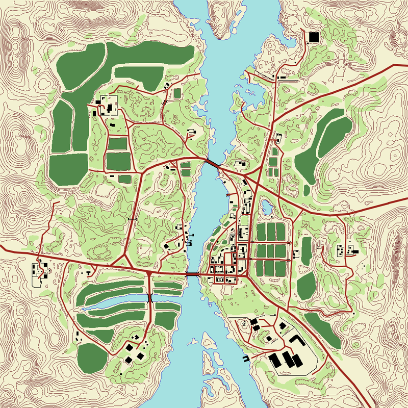
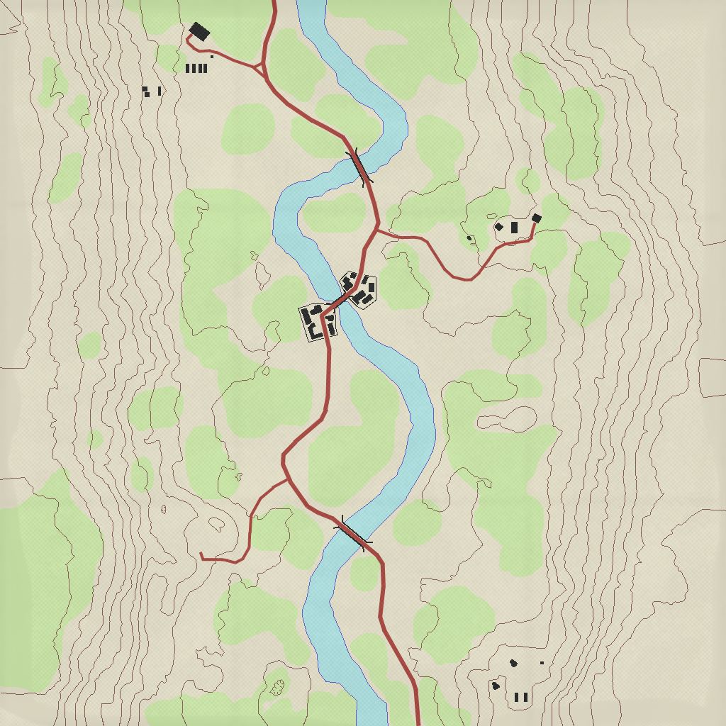
Qwai
Fool's Road (by Bloodbane611)
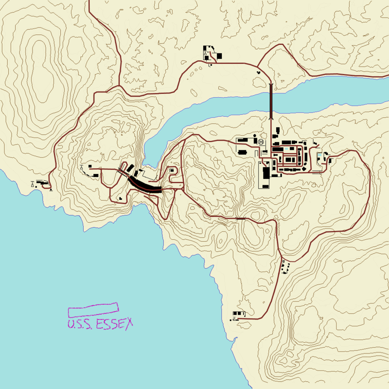
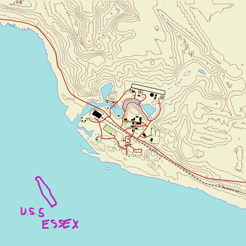
Gulf of Oman
Kyongan'Ni
Ramiel
Downloads(19/03/0
WARNING: SINCE APRIL 2008 SERVERS HAVE IMPLEMENTED PB CHECKS ON THE FILES INVOLVED. KEEP BACKUP FILES IF YOU PLAY ONLINE.
Operation Ghost Train
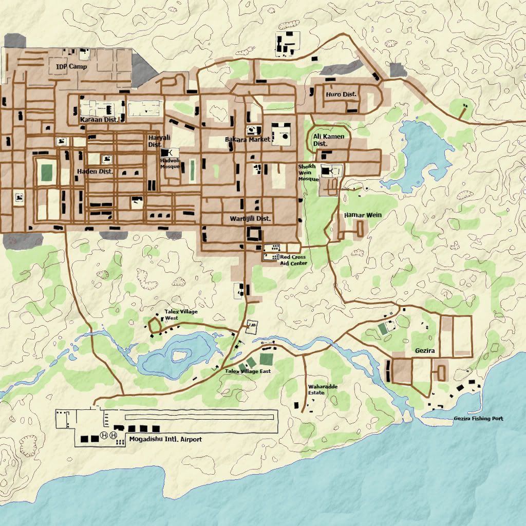
Al Basrah
Qwai
Jabal
Here
and
Fool's Road
Here
Please try these out and post feedback, good or bad in this topic. Also, if you want, create a topographic map for other PR maps. Instructions are a few posts down.
---Original Post---
I want to make a topographical minimap set to see how they look in game.
Such as this one, but with topographical colors instead of the standard minimap.
[Image removed to improve topic performance]
http://users.on.net/~cryde/Piccies/ogttopographical.png
Can someone tell me how to find the spaced heightmapped lines? I found the shaded ones but I need separations. IO will overlay them over the minimap and draw another layer with topographical colors and symbols. I really can't figure out that heightmap thing after looking at dozens of threads on bfeditor.org and messing with the editor for a while. (Can't even move the camera in and out in the editor.
Operation Ghost Train
Al Basrah
To do: Add depression markings
Mestia (by BloodBane611)
Under construction
Jabal
Qwai
Fool's Road (by Bloodbane611)
Gulf of Oman
Kyongan'Ni
Ramiel
Downloads(19/03/0
WARNING: SINCE APRIL 2008 SERVERS HAVE IMPLEMENTED PB CHECKS ON THE FILES INVOLVED. KEEP BACKUP FILES IF YOU PLAY ONLINE.
Operation Ghost Train
Al Basrah
Qwai
Jabal
Here
and
Fool's Road
Here
Please try these out and post feedback, good or bad in this topic. Also, if you want, create a topographic map for other PR maps. Instructions are a few posts down.
---Original Post---
I want to make a topographical minimap set to see how they look in game.
Such as this one, but with topographical colors instead of the standard minimap.
[Image removed to improve topic performance]
http://users.on.net/~cryde/Piccies/ogttopographical.png
Can someone tell me how to find the spaced heightmapped lines? I found the shaded ones but I need separations. IO will overlay them over the minimap and draw another layer with topographical colors and symbols. I really can't figure out that heightmap thing after looking at dozens of threads on bfeditor.org and messing with the editor for a while. (Can't even move the camera in and out in the editor.
