
I dont have much experience with Digital Elevation and Bf2 maps and more importantly i dont have Geocontrol, Terragen or any of that other stuff.
Would anyone who has a knowledge and the tools to make a satellite data based highmap help me out and make one for me.
Also if you can could they do the heightmaps for the surrounding terrain. Would be a great time saver, if anyone would to be so kind.
Heres the Lat/Long.
Code: Select all
1°23'14.02"N, 68° 9'17.73"W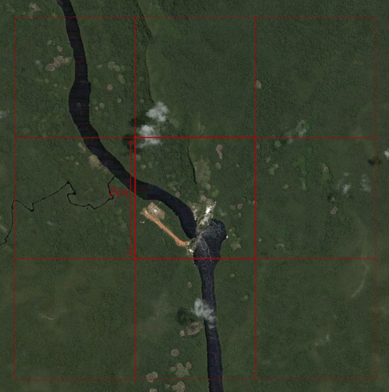
Thanks.

