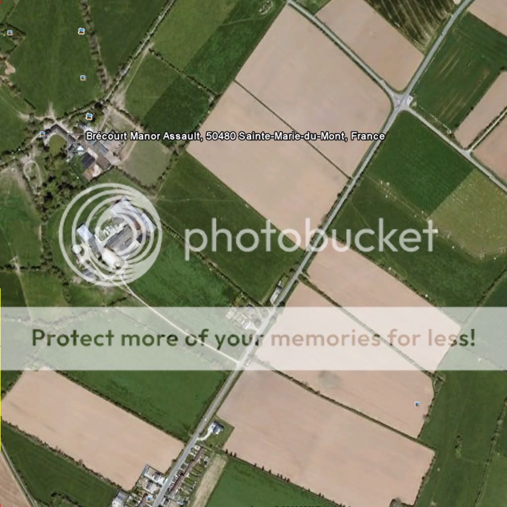
I would like to use an image from google earth to show me where to place objects and paint terrain.
I have heard you can do it with Tpaint somehow, but all of the tutorials I have seen do not tell me how to do this.
If it helps, I want to do it to a 1km map.
Edit: Here is the image I want to use