
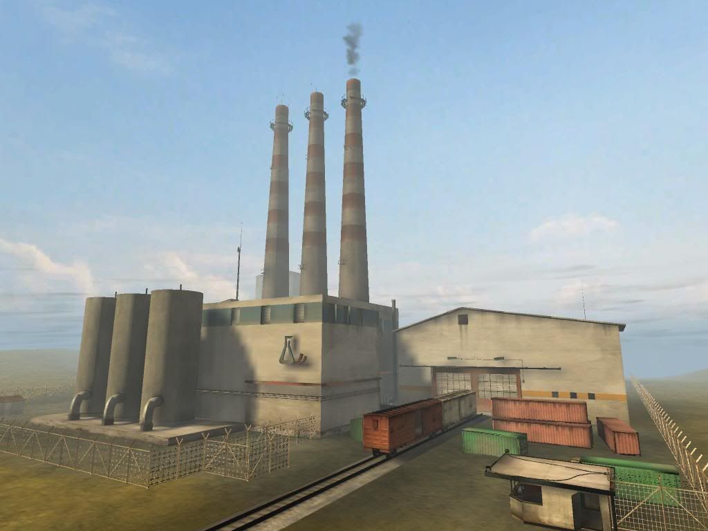
Small barricade (yah, i know it's not thaaat thing but... )
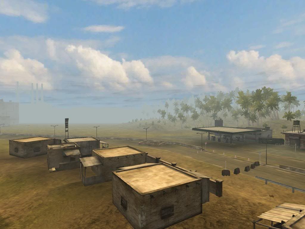
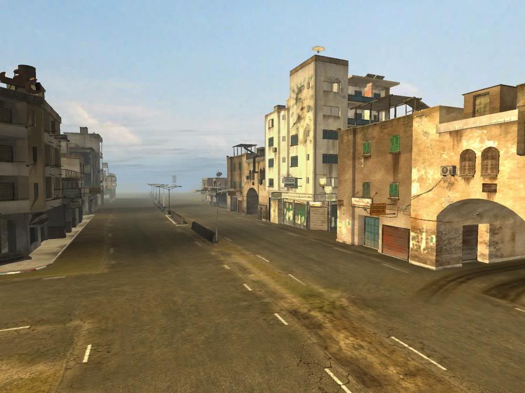
Also, I still gotta improve the fog and draw distance. This sky may look sort of low detailed, but I'll try to make my own sky (just look for some tuts on how to do it) if other one don't fit perfectly.
@KingLorre
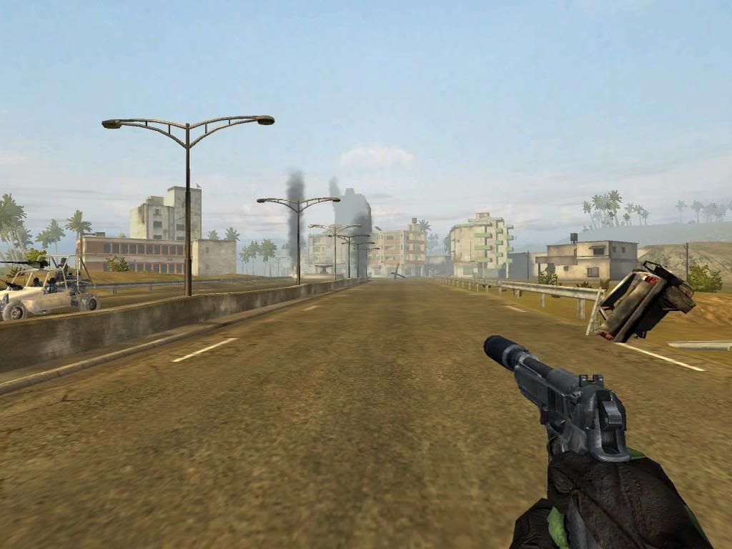
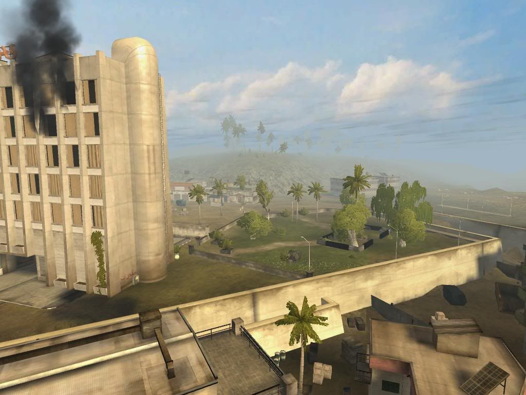
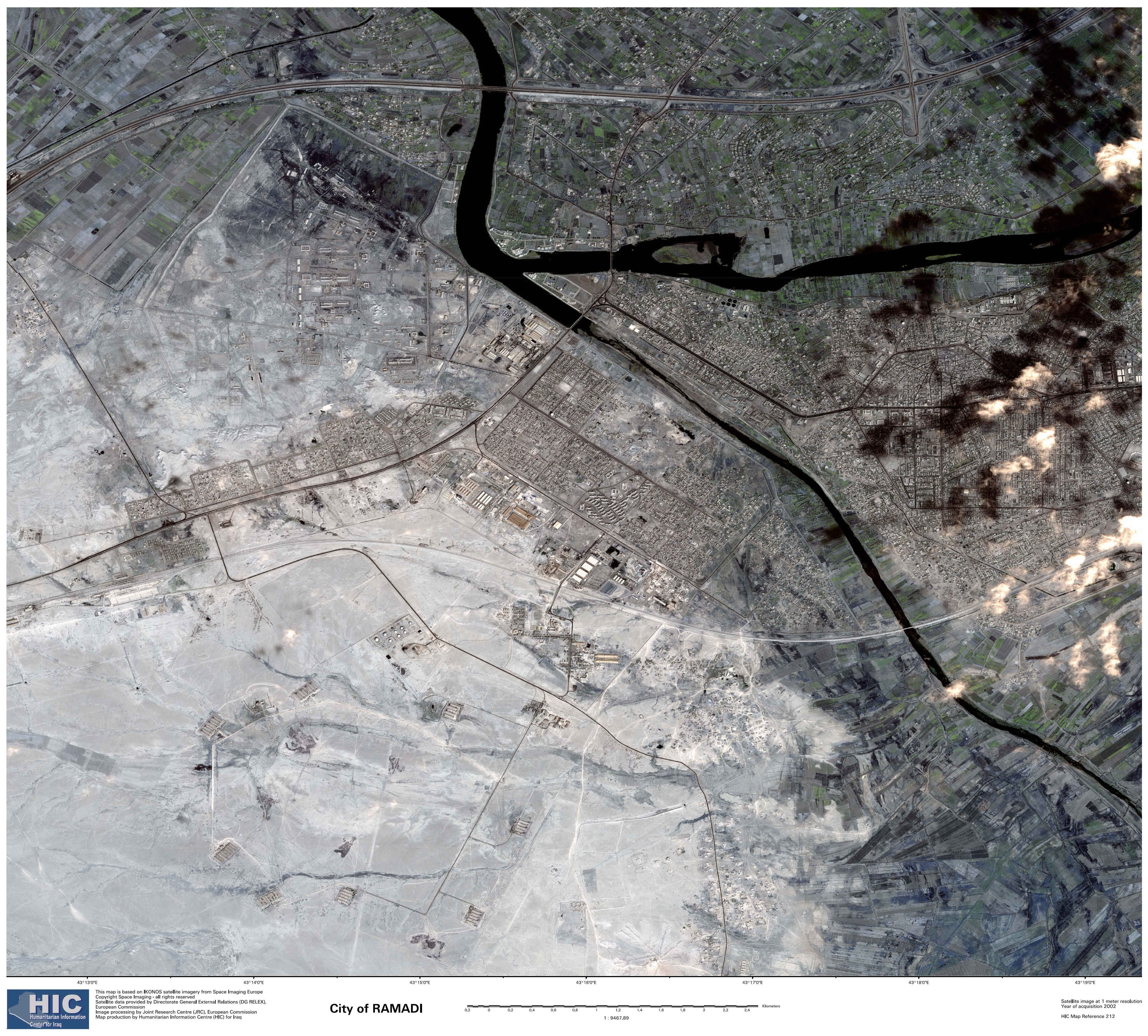
Mostly, cities like these are surrounded and checkpoints are placed so that not anyone can enter or leave the city. the families that stay arround, stay inside their houses cause insurgency rules the street.
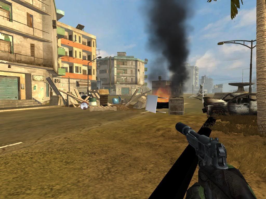
As insurgency tatics, making bomb-cars and arming IED's inside the vehicles are included, or just setting fire into other political view insurgents.
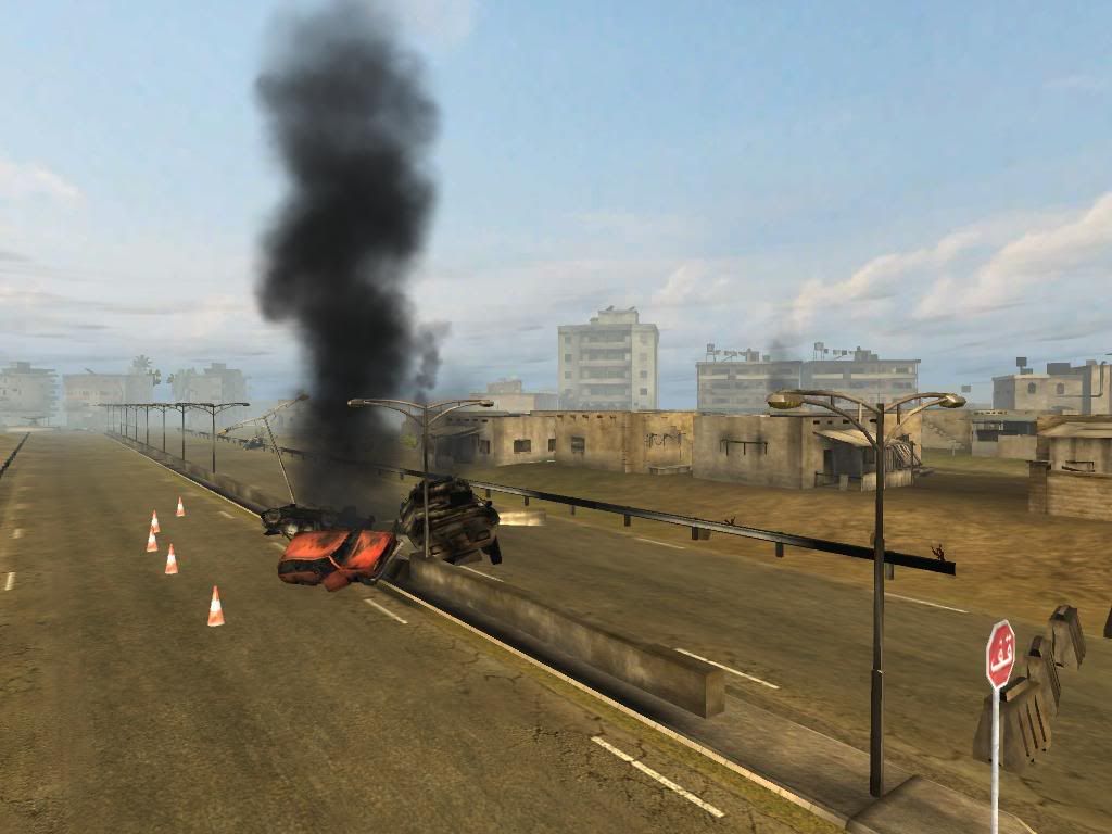
Also, US army generally takes the destroyed vehicles away from the road, that's one of the reasons for all those cars bellow the bridge.


