Page 2 of 2

Posted: 2007-12-13 22:41
by Sadist_Cain
http://www.dean.usma.edu/history/web03/ ... p%2056.htm

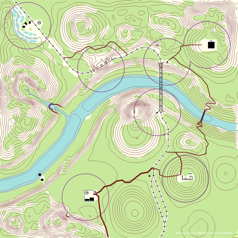
FAAAR too much cluttering.

http://www.dean.usma.edu/history/web03/ ... p%2029.htm
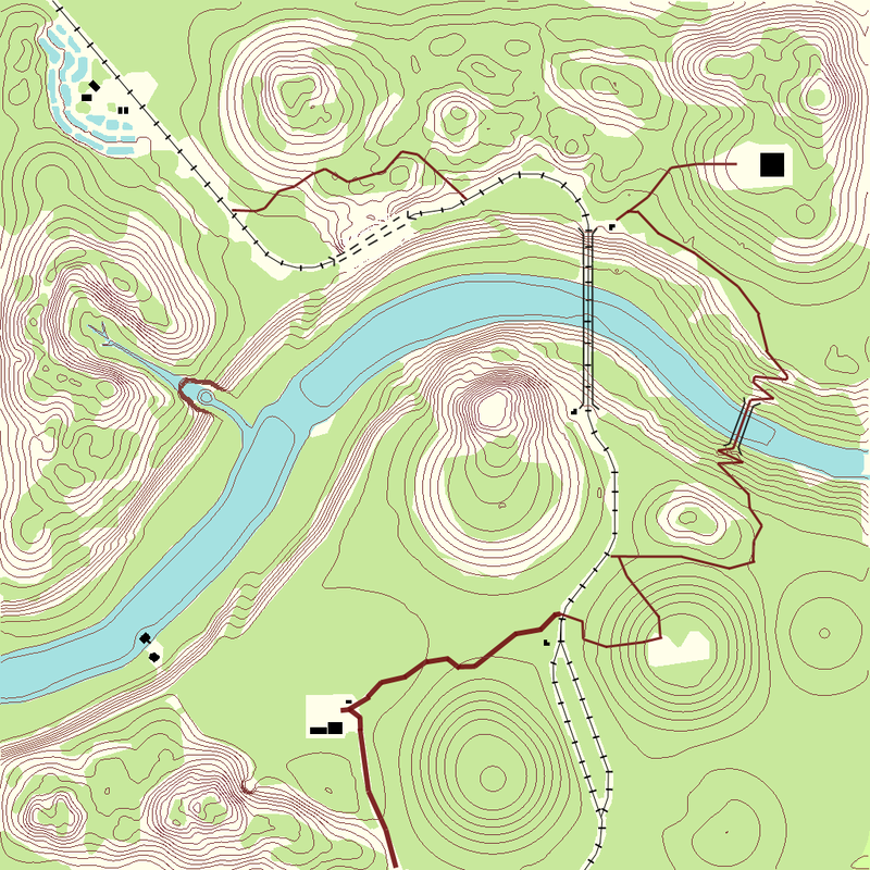
now THATS more like it :D could still use some more survey symbols (things like waterfalls etc.)

of course we cant have arrows indicating our troops movements, but can can have artilley positions and other such things like neutral defensive MGs mapped.
Also helipads are an absolute must.

Also since I hear theyre getting rif of move smoke, perhaps having certain points on the map which are perfect chopper landing spots marked as an LZ. maybe only one per map in a remote place, but it would be something visible on the map that just requires a flat piece of terrain, would encourage choppers to land troops in the jungles and encourage more deep forest fighting :D

Posted: 2007-12-14 05:23
by Clypp
Update:

Corrected some trails, added CP radius, added trenches, added helipads and comm tower.

Needs: contours underwater should go blue, rock detail in river.

Image

Posted: 2007-12-14 05:29
by Rhino
remove the CP radius, not accurate size wase for a start, and as all 16, 32 and 64 (+ other game modes) use the same minimap and have diffrrent flag setups and settings they just wont work.

distance line at the bottom make black, white blends in too easily...

only real main comments i have.

Posted: 2007-12-14 08:58
by Hanniz
Just some thoughts:

1. Is this supposed to be "just a map" or a map who also gives situational awareness? In IRL Im used to navigate by a standard NATO 1:50000 map in most situations and sometimes in well prepared operations we throw in sat.photos and other stuff that can be usefull. To achieve situational awareness I have to use my eyes and ears. And of course remembering the essence of the intel brief.

2. A map normally doesn't involve craters and man-made improvised fortifications. Thats unless they have been there for a very long time. In my opinion the map should show terrain and man made structures that have been there for a long period of time, like the railway, temple and so on.

3. As a general rule the map you carry on you should always be unmarked.

thats it. May seem harsh to "only" have a map, but then again I'm a reality puritan. 8-)

Posted: 2007-12-14 09:06
by Sadist_Cain
OOO I didnt know that natos were standardized. Then thats the reason the maps I've got are 1,50 0000 instead of 1, 25000 Ill try and you some scans of the legens etc clypp :D

Posted: 2007-12-14 09:19
by Hanniz
And this is where I live in 1:50000 aspect. Its not a very detailed map, but this is what we have to live with for real.

The map is taken from a local official website, but the map is the same as the military ones.

(poor quality, but its just an example)

Posted: 2007-12-14 13:00
by Clypp
I'm leaning against adding the tree types again. A half hour of searching could not find me a bamboo icon and very few of my reference maps used it.


[quote=""'[R-DEV"]Rhino;549806']remove the CP radius, not accurate size wase for a start, and as all 16, 32 and 64 (+ other game modes) use the same minimap and have diffrrent flag setups and settings they just wont work.

distance line at the bottom make black, white blends in too easily...

only real main comments i have.[/quote]

I really like the CP radius :( The idea is that it will make it far easier to tell where bunkers, RPs and firebases can be placed. I have not yet tested them in game, this is more of a proof of concept. Purple is standard for late additions to a map so it could be allowed. As for different gamemodes, I realize this could be a problem. You can ignore them quite easily though. I think the flags are in the same position for 32 and 64. Does anyone even play 16? I might remove these unless other people say they like it as much as I do. :-) As for accurate size, they should be very close assuming each pixel is a meter. I'll fix the scale color.

[quote="Hanniz""]Just some thoughts:

1. Is this supposed to be "just a map" or a map who also gives situational awareness? In IRL Im used to navigate by a standard NATO 1:50000 map in most situations and sometimes in well prepared operations we throw in sat.photos and other stuff that can be usefull. To achieve situational awareness I have to use my eyes and ears. And of course remembering the essence of the intel brief.[/quote]

Just a map with some additions drawn on by the cartographers to give some situational awareness. I want to make this as accurate as possible. Could you link or scan a NATO 1:25000 or 1:50000 map for reference purposes?
2. A map normally doesn't involve craters and man-made improvised fortifications. Thats unless they have been there for a very long time. In my opinion the map should show terrain and man made structures that have been there for a long period of time, like the railway, temple and so on.
This is why I do not want to add the craters. I was iffy about the trenches too, but ended up adding them because they are very important features in on area of the map. Let's assume the cartographers made this map a week or so before the conflict of OGT.
3. As a general rule the map you carry on you should always be unmarked.

thats it. May seem harsh to "only" have a map, but then again I'm a reality puritan. 8-)
Really? I have a hard time thinking that is true. If I had to take a map into battle I think I would mark objectives on it, add some important landmarks and intel on enemy positions.

I'm trying for a realistic angle here, one that looks semi-authentic and yet is useful in the game.


Reference table scans would be great. :)

Posted: 2007-12-14 13:12
by PARAMEDIC.CA
WOW Clypp, thats pretty nice work!!!!!! Well done!

Posted: 2007-12-14 13:46
by Hanniz
Really? I have a hard time thinking that is true. If I had to take a map into battle I think I would mark objectives on it, add some important landmarks and intel on enemy positions.

a little bit off topic, but I'll try to keep it short.

If a fully marked map should fall in to the counterparts hands it could get very unpleasant for us, the good guys. Even a map with only enemy positions on it will tell the enemy "what" we know and enables them to execute countermeasures. Potential consequences of knowing our positions is off course obvious.

Therefore we often have objectives and intel on a written order, but still try to keep the map as clean as possible. Even more a battlefield is constant changing and a map would be very messy after some time. As an alternative we can use transparent plastic foil as an overlay. If we are talking about the planning done in HQ ( whatever level as long as it have staff officers) the story is a whole other story. Bill Gates has made his entry here too and MS office powerpoint is off course used when giving orders. The digital map then contains all needed data.

And even more we have programs for battle command and control which is all digital.

But my final point was, at the front, we don't bring marked maps.
(I bring my USB pen drive, but I'm gonna swallow it if I get caught! )

That said, keep working on these maps!

Btw, if your interested I can scan some 1:50000 maps (only A4 seize off course)as an example, and I'll include the map legend. Cant do this before monday evening though. Today i'll get drunk and saturday/sunday its all FH2! :mrgreen:

EDIT: you can off course argue that whether you bring a marked map or the complete order doesn't matter if it falls into the enemy's hands. Sure.. maybe I'm just old fashion I guess.

Posted: 2007-12-14 14:05
by Sadist_Cain
K got some old 1,50 000 maps used by the british for training on salisbury plain, just installing drivers now and Ill scan them in two minutes.
On the subject of trees I don't know what bamboo would come up as (not a tree) but I can promise you that they Identify the different types of trees on the maps for navigation + survival.

Posted: 2007-12-14 15:31
by Sadist_Cain
Image

OK so here we have the standard map legend. As you can see there's a lot of different symbols for different things, just notice that the footbridge on the right of OGT needs to be changed if you see...


Image

Not very Important but I thought it could be good for Al Basrah to show the main roads and such.


Image


Ok and finally a sample of a real world map. For those interested Larkhill is where they train the SAS thought that appropriate :P

Like I said before theres a very large amount of detail in these maps, pity I dont think there's any cliffs or screes to see how they look but if you want Clypp I can get you some.
Of course our maps wont need this much detail, we wont need nature trails village names etc. take away all the townie bits and it should be quite sleek and informative :P

Also was thinking is there a way you can give hieght markers on the contours? If the minimap gets removed (prays) then well need to pinpoint our location perhaps with hieght aswell "ok Im south of grid D4 at 50 metres!" would be helpful to pinpoit :P the hieght dosnt even need to be accurate though it would be better if it could be of course

Edit: notice how buildings such as schools/hotels are highlighted. Incooperating this into our urban maps would add so much depth! we already have lil names for them so why not have proper "OK lets check out and see if there are any weapons caches in the Al-Khaseeb district"

"We're pinned down under fire 200 metres north of the school building !"

Just think if removing all of this automatic navigation how much more awesome and tense the firefights will be. Teamwork will be paramont to getting weapons onto the enemy and finding their location, no teamwork will result in death. the way we like it :D

Also ponder the idea of urban "hot zones" poorly mapped areas with vast amounts of roadblocks and such. I think this'll have a more profound effect than am entire city totally trashed, driving in the landy into the hot zone andj ust see how the buildings are falling apart from bomb strikes, burnt out cars etc. the contrast will be chilling :D

Posted: 2007-12-14 16:24
by Hanniz
I like the way you think Cain.

Wanna be my girlfriend? :lol:

Posted: 2007-12-14 16:41
by Clypp
Dammit guys, I don't have thaat much time. There are 2 dozen maps!

I like putting region/road names, I was already planning this.

I might have to get illustrator, I hear it has some built in mapping features.

If anyone else wants to try make maps (Cain?) I can give you all the details to get started.

Posted: 2007-12-14 16:41
by Sadist_Cain
I only work in a team Hanniz... We'll need several people :D :wink:

Posted: 2007-12-14 16:43
by Sadist_Cain
Regards to making maps, Hell yes Clypp :D Thought I gta say I love what youve done so far, hoping your idea is that we can work together on this :D and no craters :P

Trying to "download" photoshop ;-) not working quite so well so I do need some tools

Posted: 2007-12-17 02:16
by Clypp
Update and OGT file in this topic (which I will use to document progress):

https://www.realitymod.com/forum/topogr ... 31270.html

Posted: 2007-12-17 15:21
by Waaah_Wah
Sadist_Cain wrote:I only work in a team Hanniz... We'll need several people :D :wink:
3some?

Posted: 2008-01-08 17:20
by Michael_Denmark
WOW!

Nice work!

mmm...Contour maps.


Image

Clypp wrote:*Whistles*
Image

This is an early version, the finished version is not uploaded yet.

Rhino, if you guys have another idea in mind for the minimap can you PM me so I don't spend too many hours doing some other ones.

Cain, do you have a version of a military battlefield map that you can post or describe? I'd like clarification on military specific attributes to include.