
For quite a while I've been wanting to see a Talib/Mec Insurgency map, where the MEC are standing in for the Pakistani armed forces on the Afghanistan/Pakistan border. I've decided to take it upon myself to make it, and being a complete mapping noob I'm going to need a helping hand. Any help or suggestions will be greatly appreciated
The Story so Far; It's going to be set in the Kurram FATA of Pakistan, which looks a little like the pic below, I can't decide yet what map it'll resemble, but I'm thinking something of a mix between Archer and Lashkar (I see them as the maps most closely resembling the "surrounded" athmosphere of forces in afghanistan, especially with the roads being more or less definately mined.)


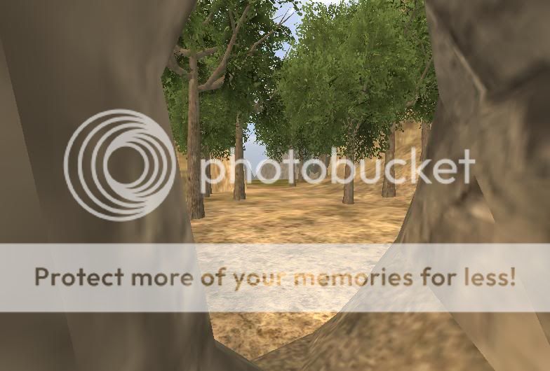
A View from the entrance of one of the cave caches out into one of the map's many valleys.
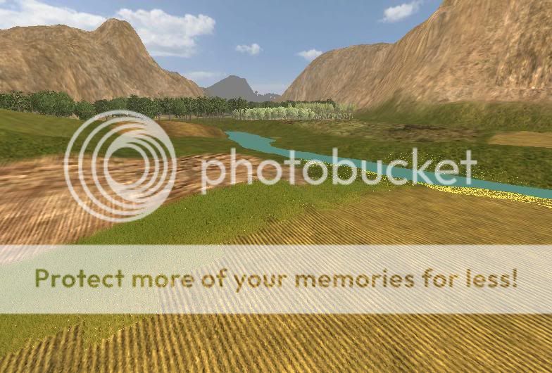
Fields that will eventually be full of crops, with Mangrove and Olive farm fields in the distance.
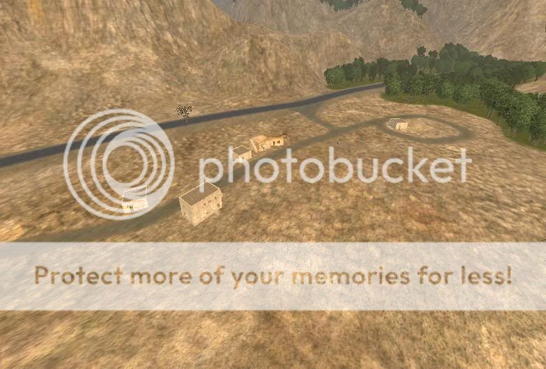
The beginnings of one of the first villages MEC forces will encounter in the map.
Who doesn't love hilltop mosque-convent-cloister-monastery style places?

Can you guess what it used to look like?

The beginnings of the MEC main

Village + Artillery strike = Hole


